Recently, NASA uploaded three million breath-taking images of our planet, snapped since 1999. They used Japan’s ASTER to do this, recording surface temperatures and reflectance. Now, without further ado, here are the hows and whys, followed by the NASA images of India.

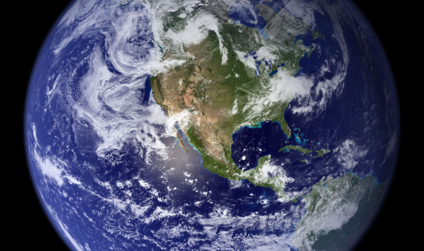
Into the Stars! Photo Credit: NASA
NASA’s Terra flagship satellite has been equipped with the Japanese-developed Advanced Spaceborne Thermal Emission and Reflection Radiometer, or ASTER. Since December 1999, they have covered almost 99% of the Earth, snapping pictures of environmental disasters and geological layouts. These photos are like works of art (as you too, will soon see,) depicting all the natural changes that could help NASA better understand the “variability and trends in climate, weather, and natural hazards.”
New Delhi
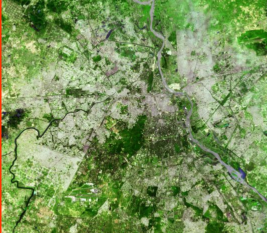
Delhi. Photo Credit: Asterweb
With a population of more than 16 million, New Delhi is one of the largest cities in India. The image was taken in September 2003, and shows an area of 30.6 x 34.8 km.
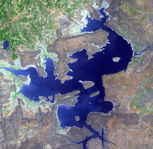
Calcutta
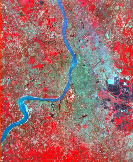
Kolkata. Photo Credit: Asterweb
Calcutta, or Kolkata, is the capital of the state of West Bengal. With a population of approximately 5 million, this city is a lively example of an Indian metropolis. The river that you see running across the city is the Hooghly (or Hugli) River. This image was taken in June 2002, and covers an area of 33x 27 km.
Hugli River Delta
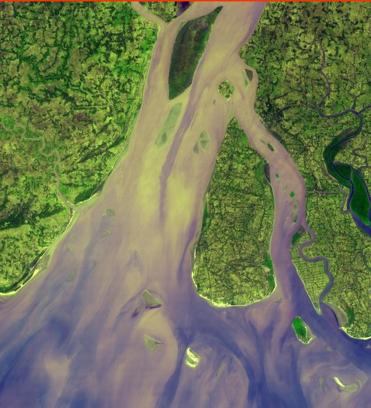
Hooghly River Delta. Photo Credit: Asterweb
The aforementioned river’s delta and the Ganges’ most western part can be seen together in this image; the Hooghly River branches off from the Ganges, flows through Calcutta, and reaches its end at the Bay of Bengal. The lighter spots in the river can be explained by a heavy sediment load, coming most;y from islands. Deep green colours mark mangrove swamps. The photo was snapped in 2005 and covers an area of 54.5 by 60 km.
Nagarunja Sagar Dam
The Largest Masonry Dam in the World. Photo Credit: Asterweb
Around 125,000 workers built the dam on the Krishna River between 1955 and 1972 – today, it is the largest functioning masonry dam in the whole world. It is 800 metres long and 120 metres high, constructed from rocks and mortar. The image was taken in April 2012 and the shot covers an area of 16 by 16 km.
- India was Named 7th Wealthiest Country - August 24, 2016
- Five Things You Have to See on the India’s Cup - August 17, 2016
- World’s Luckiest Man Survives Crash, Wins the Lottery - August 12, 2016
About the Author
veronika
Vera graduated from McDaniel College Europe with a degree in Political Sciences and International Relations. She loves to write about anything that interests her and she has a mania for baking - she also has a baking channel. She is an avid organizer, recording everything in her Filofax. An active person, she runs a lot and has to go to the gym on a regular basis, otherwise she would go craaaazyy.